
Square One Maps Chuckanut Recreation Area Map
This product is not available.
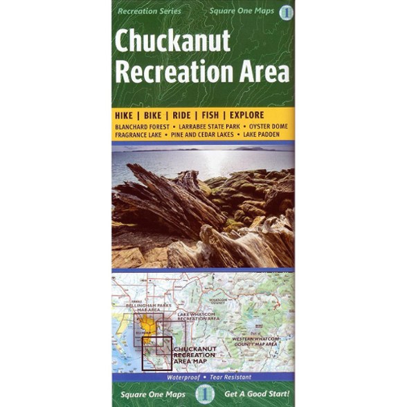
With rain a constant battle in the PNW, the waterproof Chuckanut Recreation Area map still gets you out to the region's best nature trails and parks, regardless of the day's forecast.
Shop similar products- Made of waterproof, tear-resistant material, with topographic detail printed in full color
- Covers parts of Whatcom County and Skagit County, including Blanchard Forest Block, Pine and Cedar Lakes, Larrabee State Park, Lake Padden Park, Fragrance Lake and Oyster Dome
- Precisely indicates all official trails and trailheads and includes park, campsite and useful contact information
Made in USA.
View all Square One Maps Washington and Oregon Maps| Best Use | Hiking |
|---|---|
| Folded Dimensions | 9.1 x 4 x 0.4 inches |
| Unfolded Dimensions | 27.5 x 25 inches |
| Map Scale | 1:10560 |
| Double Sided | Yes |
| Publisher | Square One Maps |
| Copyright Year | 2015 |
| State / Province | Washington |
Write a Review
Adding a review will require a valid email for verification
2 years ago
Great map.
Great map. I bought it, hoping to check out the Pacific Northwest National Scenic Trail a little more. The online maps for the area are a little lacking, so this should help with planning. Wish there was one dedicated, detailed map for that trail.
3 years ago
4 years ago
4 years ago
Age:45–54
4 years ago
Yes , I recommend this product
Age:45–54