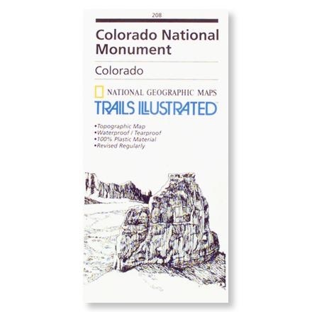

Colorado National Monument Trails Illustrated Map
This product is not available.
Topographical map of Colorado's backcountry includes a mileage chart from trail to trail, along with information on geology, wildlife and history
Shop similar products- Features 25 miles of constructed trails plus many less formal routes; wooded mesas and winding canyons--at all skill levels
- Map scale is 1:24,000 and the contour interval is 20 feet
- Based on USGS topographical maps-- modified and revised with the cooperation of the National Park Service
- Printed on tearproof and waterproof paper-like plastic
Made in USA.
| Best Use | Hiking |
|---|
Be the first to write a review!
Adding a review will require a valid email for verification