Skip to search results
loaded 5 results
Garmin Satellite Communicators
(5 products)Products (5)
Sort: Best Match
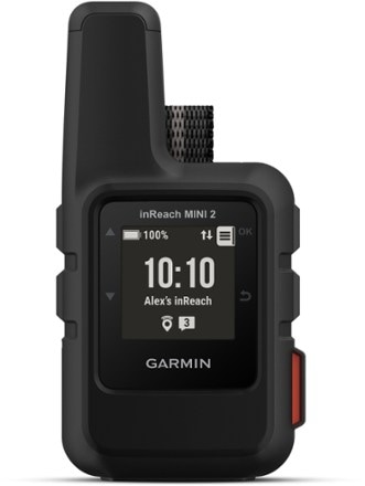
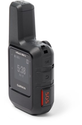
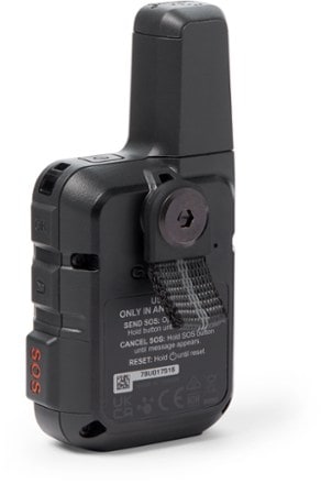
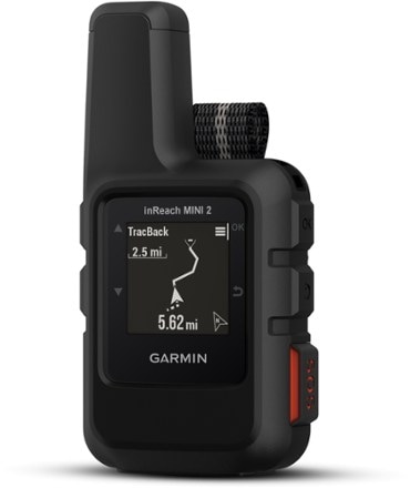
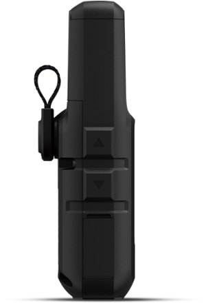
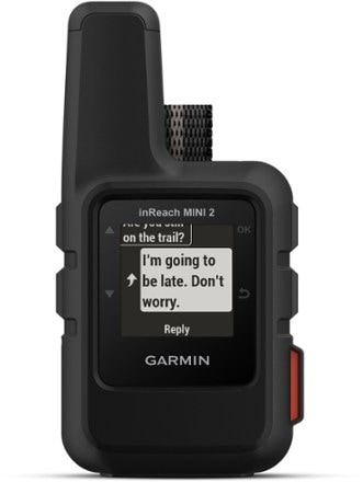
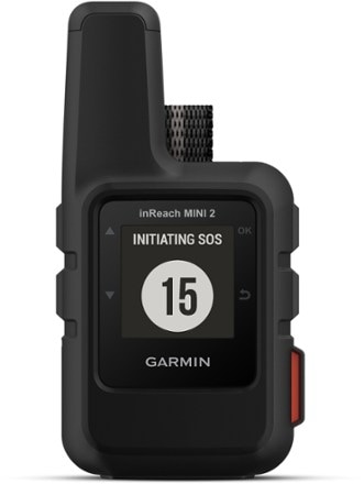
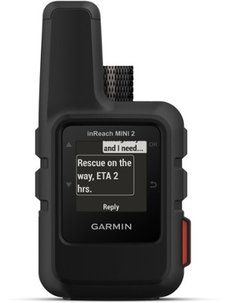
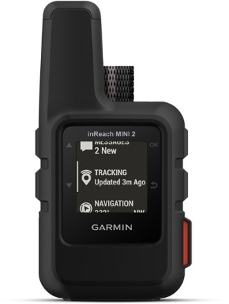
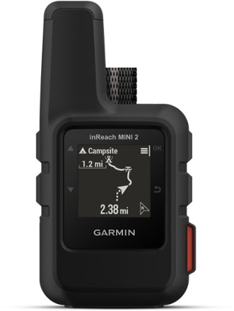
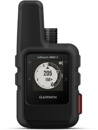
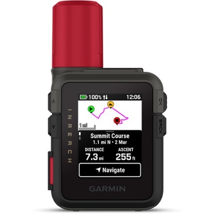
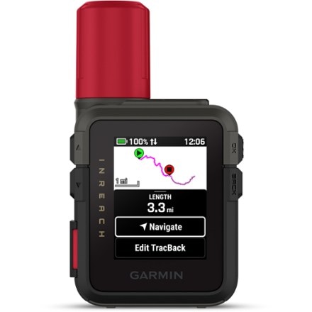
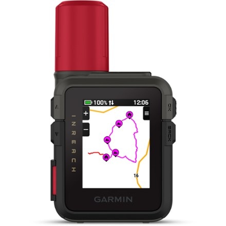
- GarmininReach Mini 2$350.00
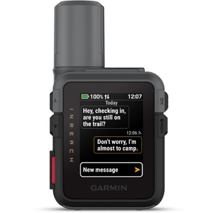
- GarmininReach Mini 3 Plus$500.00
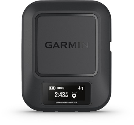
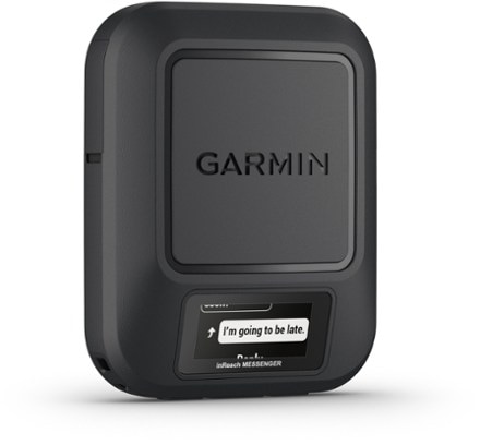
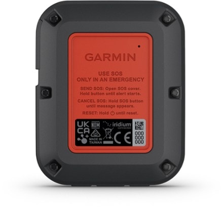
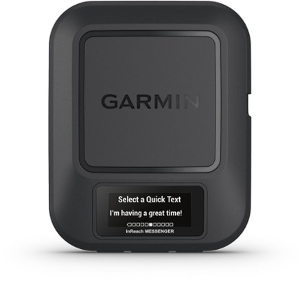
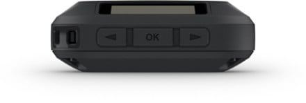
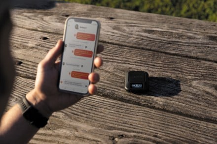
- GarmininReach Messenger$300.00
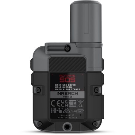
- GarmininReach Mini 3$450.00
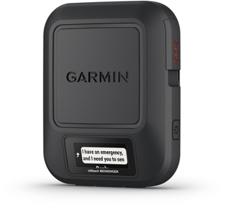
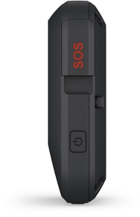
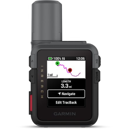
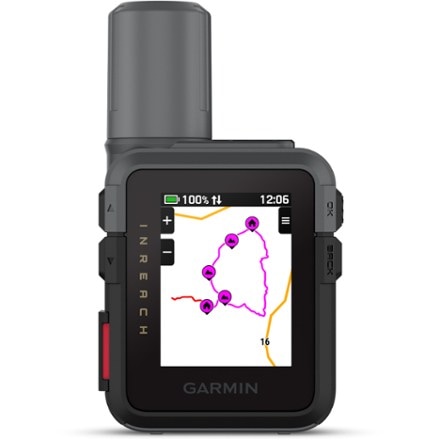
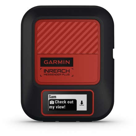
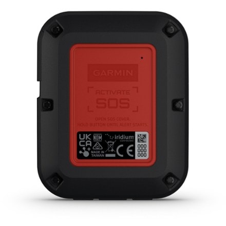
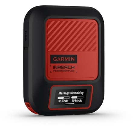
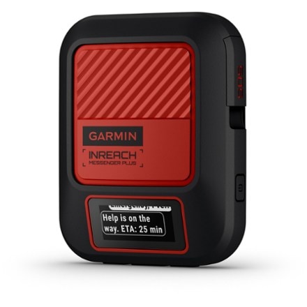
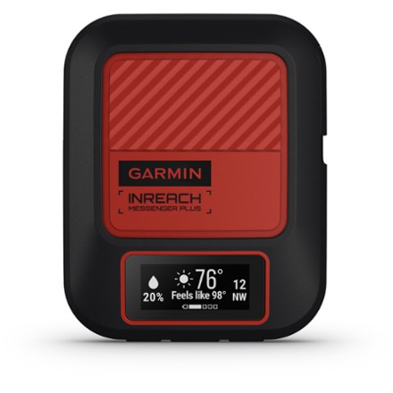
- GarmininReach Messenger PlusTop Rated$400.00


Sort: Best Match
