Skip to search results
loaded 8 results
Garmin Cycling Computers
(8 products)Products (8)
Sort: Best Match
- Sale Ends Jun 29GarminEdge 1050 Bike Computer$599.99Save 14%compared to $700.00
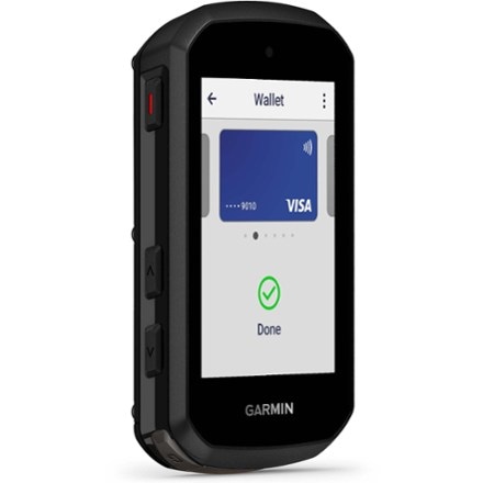
- GarminEdge 540 Bike Computer$350.00
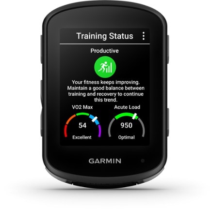
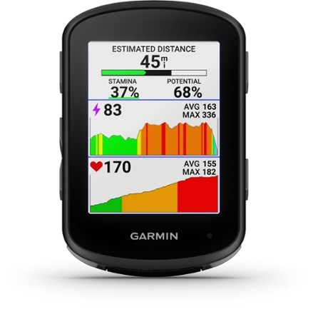
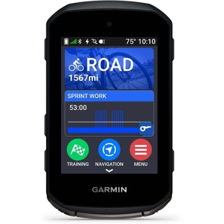
- Sale Ends Jun 29GarminEdge 850 GPS Cycling Computer$499.99Save 16%compared to $600.00
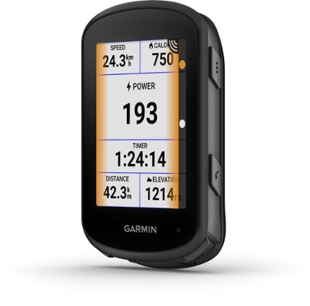
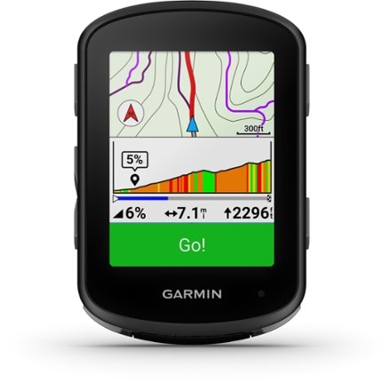
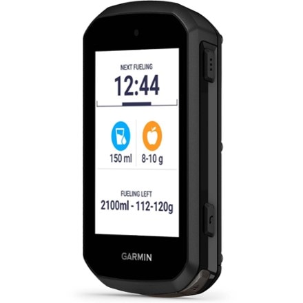
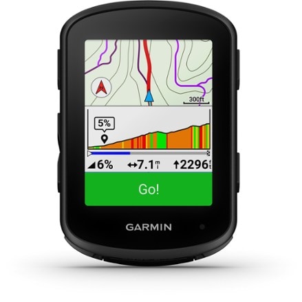
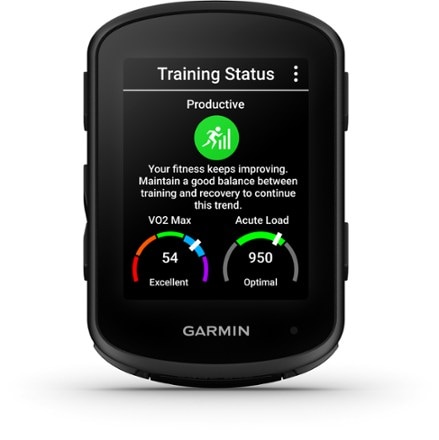
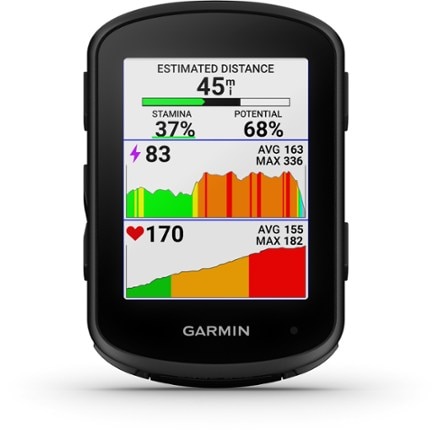
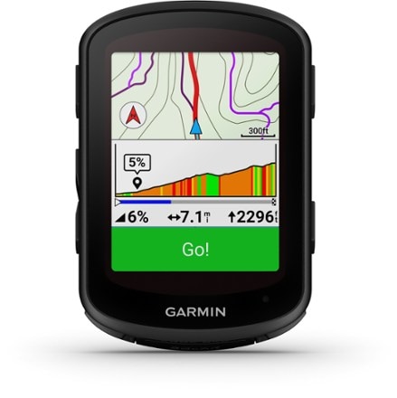
- GarminEdge 840 Bike Computer$450.00
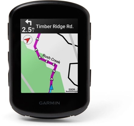
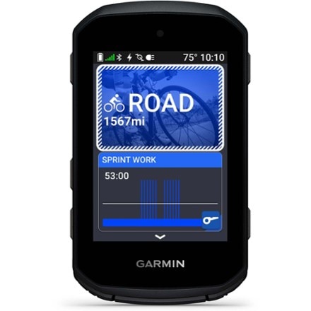
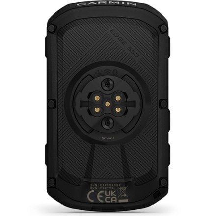
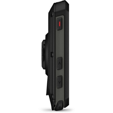
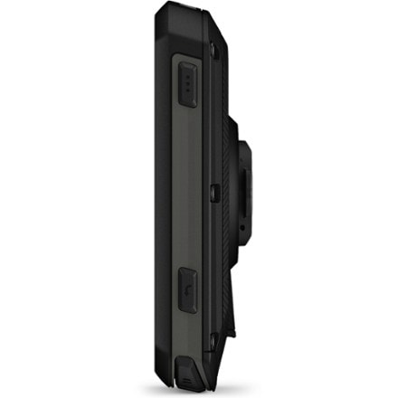
- Sale Ends Jun 29GarminEdge 550 GPS Cycling Computer$399.99Save 20%compared to $500.00
- Sale Ends Jun 29GarminEdge 840 Solar Bike Computer$399.99Save 20%compared to $500.00
- GarminEdge Explore 2 GPS Cycling Computer$300.00
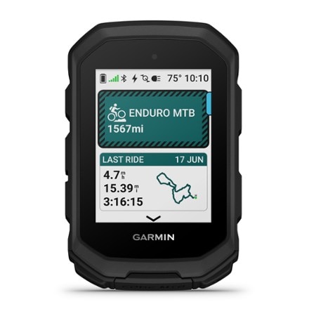
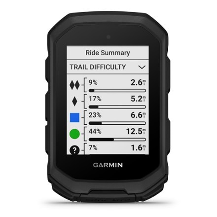
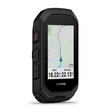
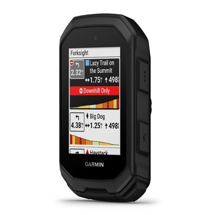
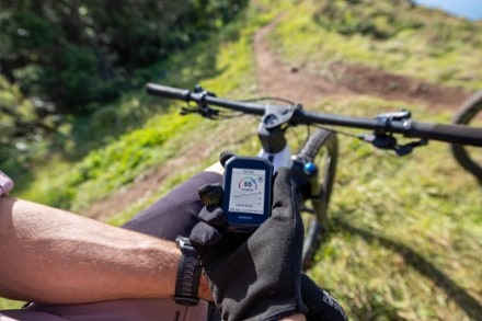
- GarminEdge MTB Bike Computer$400.00


Sort: Best Match