Skip to search results
loaded 6 results
Garmin GPS Accessories
(6 products)Products (6)
Sort: Best Match
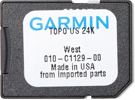
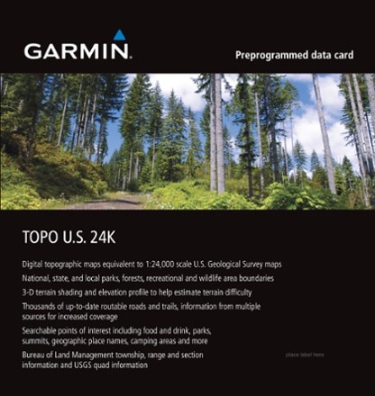
- GarminTopo U.S. 24K West microSD Card$100.00
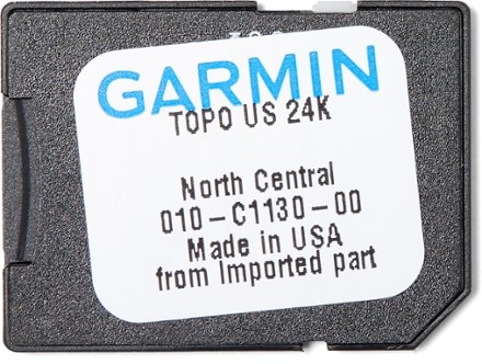
- GarminTopo U.S. 24K North Central microSD Card$100.00
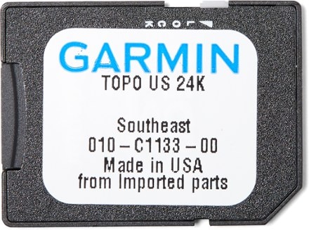
- GarminTopo U.S. 24K Southeast microSD Card$100.00
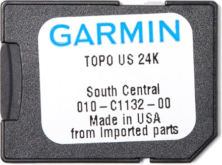
- GarminTopo U.S. 24K South Central microSD Card$100.00
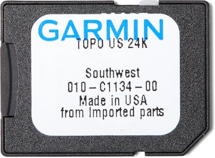
- GarminTopo U.S. 24K Southwest microSD Card$100.00
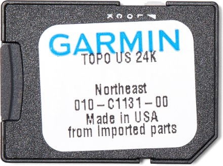
- GarminTopo U.S. 24K Northeast microSD Card$100.00

Earn 15% in total rewards
Get 5% on all REI Co-op purchases plus the 10% Co-op Member Reward you earn on eligible full-price purchases.
Apply now
Terms apply
Sort: Best Match