Skip to search results
loaded 9 results
GPS Accessories
(9 products)Products (9)
Sort: Best Match
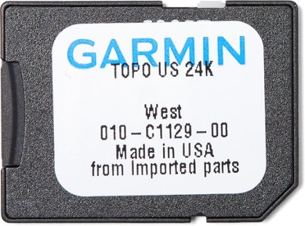
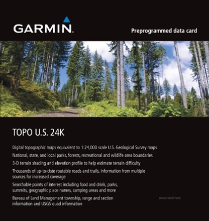
- GarminTopo U.S. 24K West microSD Card$100.00
- Nite IzeSqueeze Clippable Phone Holder$15.93Save 29%compared to $22.50
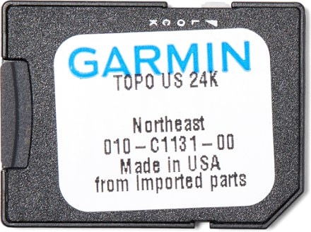
- GarminTopo U.S. 24K Northeast microSD Card$100.00
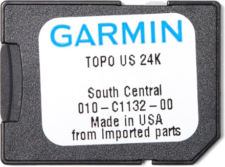
- GarminTopo U.S. 24K South Central microSD Card$100.00
- Nite IzeSqueeze Universal Dash Mount$22.50
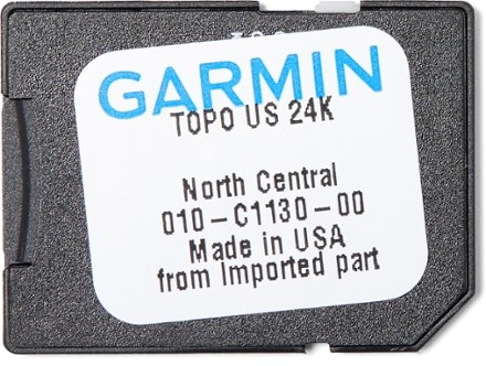
- GarminTopo U.S. 24K North Central microSD Card$100.00
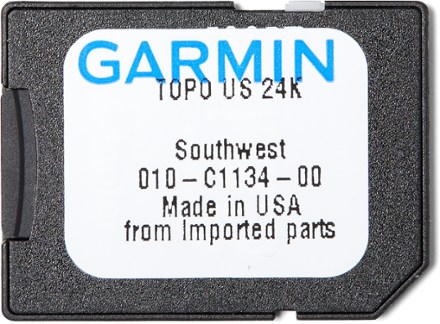
- GarminTopo U.S. 24K Southwest microSD Card$100.00
- ZOLEOCradle Kit$35.00
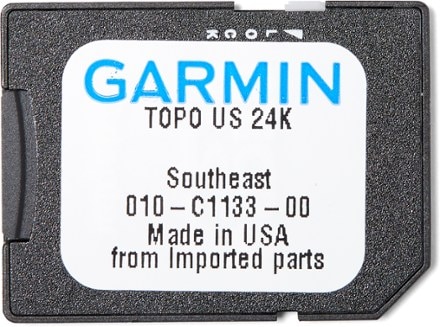
- GarminTopo U.S. 24K Southeast microSD Card$100.00


Sort: Best Match