
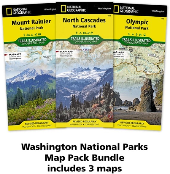
National Geographic Washington National Parks Topographic Map Pack
This product is not available.
The Trails Illustrated Washington National Parks topographic map pack shows you the way to the diverse beauty found in Washington's national parks: Mt. Rainier, Olympic and North Cascades.
Shop similar products- From the coast and peaks of Olympic to the towering volcanic cone of Mt. Rainier to the glacier-carved landscapes of the North Cascades, each park stands alone in its majesty
- Each map has clearly marked trails and points of interest such as scenic views, campgrounds, trailheads, boat launches, picnic sites, ranger stations and more
- Easy-to-read, yet highly detailed mapping shows comprehensive trail and road networks and designated trails for hiking, horseback riding, biking and more
- Clearly marked navigational aids with UTM coordinate grids, a scale bar and full legend, essential for safely navigating the backcountry with GPS or compass
- Color-coded boundaries for public lands including national parks, national forests, national monuments, ranger districts, wilderness areas, state parks and wildlife refuges
- Printed in the U.S.A. on a durable, lightweight, waterproof, tear-resistant material designed to withstand all weather conditions
- Folded dimensions: 9.25 x 4.25 in.; unfolded dimensions: 25.5 x 37.75 in.
- National Geographic Maps; copyright 2015
Made in USA.
View the National Geographic Trails Illustrated Product LineView all National Geographic Washington and Oregon Maps| Best Use | Travel Hiking |
|---|---|
| State / Province | Washington |
| Map Number | 216-217-223 |