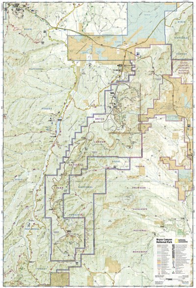
National Geographic Bryce Canyon National Park Trail Map
This product is not available.
This informative Trails Illustrated map will help you plan trips and explore the area in and around Utah's Bryce Canyon National Park.
Shop similar products- Printed on durable, tear-resistant, waterproof material, this map can go virtually anywhere you go
- Covers multiple USGS quadrangles with the convenience of a single map
- Based on exact reproductions of USGS topo map information—updated, customized and enhanced to accurately detail the unique features of the area
- Highlights hiking trails, cross-country ski trails, bike trails, campgrounds and many other subjects of interest
- Measures 9.25 x 4.25 in. folded and 37.75 x 25.5 in. fully opened; scale of 1:20,000 and 1:35,000
- National Geographic Maps; copyright 1989 (revised 2006)
Made in USA.
View the National Geographic Trails Illustrated Product LineView all National Geographic Mountain West Maps| Best Use | Hiking |
|---|---|
| State / Province | Utah |
| Map Number | 219 |
Review this Product
Adding a review will require a valid email for verification
very clear map
All the NG maps are fantastic if you're going to a National Park. I have several GPS apps that I use when I'm actually on the trail, but the physical maps are always great for getting a broader view. They also have tons of info about the history & natural features of each park. The map for Rocky Mountains is good as well.
Great Map of Bryce Canyon
This product is a great map of Bryce Canyon National Park. I purchased this prior to a trip and it was very useful to be able to visualize the trails we were hiking each day!

